RESTORATION. Case study of the Robertsau entrance and the Apollonia site
Strasbourg, Apollonia location
From the 5th to the 9th February 2024, ENSAS students (Strasbourg National School of Architecture) have worked in the Apollonia site to think about the theme RESTORATION as part of their interdisciplinary week.
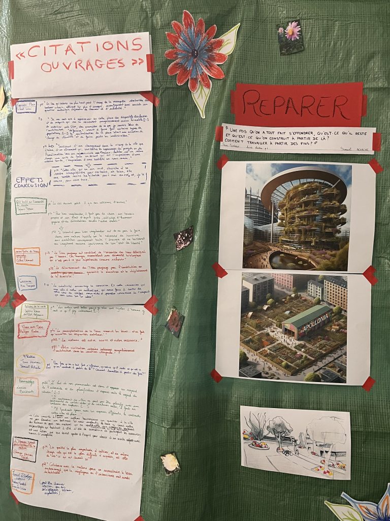
For this first edition, restoration is analyzed with a large understanding : to repair an object, tools, a building, but also to make last, to take care of a place, to fix the relationships in a society, with a connexion to ecological stakes.
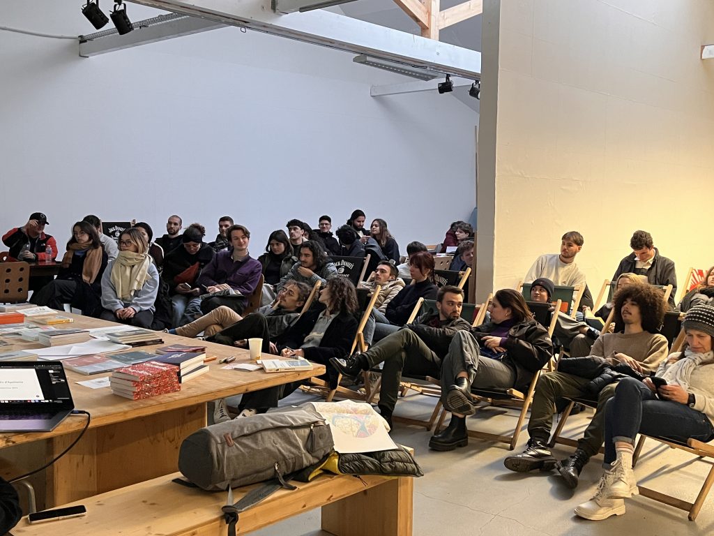
On Friday the 9th February, the Master’s students are presenting the results of their intensive week of reflexions to the invited public on the theme « RESTORATION. Case study of the Robertsau entrance and the Apollonia site ». A time of discussions between the public, the students and Apollonia takes place.
This study is created with the perspective of a future urban renewal of this territory, from the extension of Strasbourg European School to the perpetuation of Apollonia.
We thank the Dernières Nouvelles d’Alsace who covered the event :

RESTITUTION
The students were divided into several groups, all focusing on different methods of analysis and foresight. These five unique approaches are detailed below.
Promenadology
Using the method of promenadology, which consists of viewing a walk as an opportunity to look at the environment through an aesthetic and sociological prism, the students appropriated the southern entrance to the Robertsau. This method generates new relationships with the urban environment, which are expressed here through sound and visual extracts. By dividing the area into four parts, the students were able to focus on collecting sounds and images. The aim of this approach is to repair the social links in this area by offering an assessment of its current state.
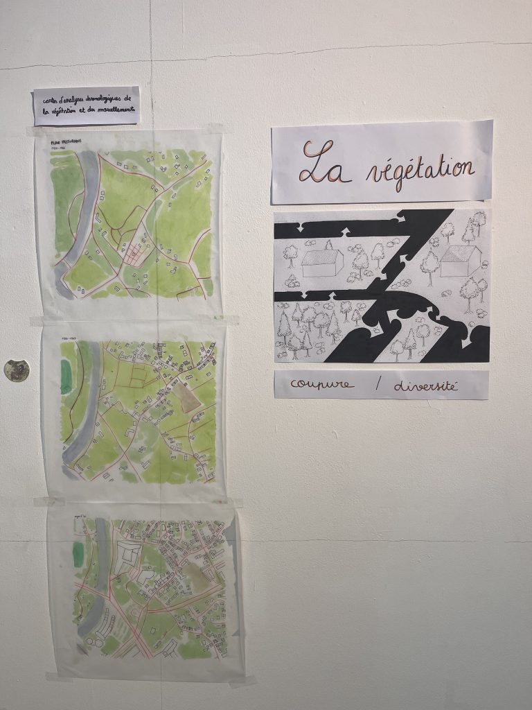
Soil study
Using the soil study method, the students were able to produce an analysis of the environment at the southern entrance to Robertsau. By drawing, collecting data and analysing plans, they studied the relationship between Apollonia, the European School, the residential buildings and the car park, all of which are located in close proximity to each other. They focused on a number of themes. Apollonia’s influence, through interviews with Dimitri Konstantinidis and a number of local residents and passers-by ; the boundaries of the area, its borders and the separations between the different types of building ; the study of the vegetation, by collecting and recording different species of plant ; the question of thresholds, i.e. the passage from private property to a public place, changes in materials and transitional spaces with multiple uses; materials, what makes up the environment, in particular the question of water management at ground level. At the end of this exploratory work, the students identified the problematic elements to which solutions could be applied. Thus, the openness and porosity of the site, the upgrading of residual spaces, the increased visibility of Apollonia, the connection and coherence of the green spaces between them and the high quality of the water management are the issues on which they have based their responses which are part of a coherent project to restructure the site. This project highlights the inter-scalar mix that exists between Apollonia on the one hand and the entire district on the other.

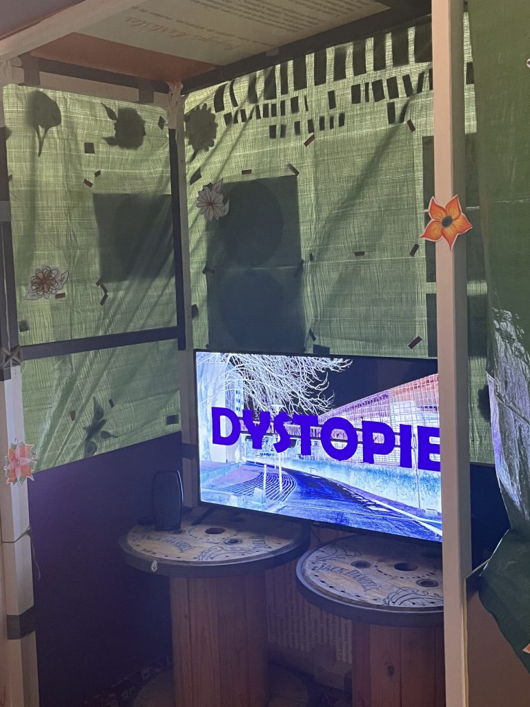
50 °C
50 degrees is the estimated temperature of the Robertsau in a pessimistic future. This scenario drawn up by the students is a consequence of the climate upheavals that are currently taking place. Using a two-stage scenography, the students aim to immerse visitors in what living conditions will be like in the near future. The first part of the scenography highlights the direct consequences of rising temperatures in an urban space, while the second part, conceived on the reverse side of the first, aims to devise solutions to the problems identified. This forward-looking approach was carried out by several groups, who focused on establishing the scenario, communication with the other groups, sensitive mapping of the environment studied, the mobility issues that will arise in the future and the study of the history of architecture in order to find similar cases of architecture under severe climatic constraints.


Frieze
The students set about creating a frieze that explores a multitude of fields, ranging from the human and social sciences to architectural sciences and techniques. The frieze aims to link these fields in the context of two possible scenarios for the southern entrance to Robertsau. On the one hand, a projection of future overpopulation, and on the other, that of depopulation of the area. The aim is to compare these scenarios with the current state of the district. To do this, the students undertook an in-depth analysis of various aspects.
Materiality for the ecosystem, which explores the impact of urban development on the natural environment, focusing on the preservation of vegetation and natural resources.
The sensitivity of spaces, relating to the identification of quiet and noisy areas in the neighbourhood, taking into account the topography and use of urban spaces.
Identification of green spaces, highlighting the importance of green spaces in the district, both in terms of preservation and access for residents.
The full and empty spaces, which represent the distribution of built and unbuilt areas in the district, highlighting the balance between the different types of space.
Practices and uses, which represent the daily activities of residents, as well as the use of public spaces and the functional mix of the neighbourhood.
Types of transport, which are the modes of travel available, their accessibility and their impact on the environment and residents’ quality of life.
The evolution of the district since the 1900s, which includes the main historical events that have shaped the district, as well as demographic, economic and architectural changes over time.
Finally, they were encouraged to integrate these analyses into a forward-looking reflection on the future of the district, highlighting its assets, its challenges and its potential for urban development.
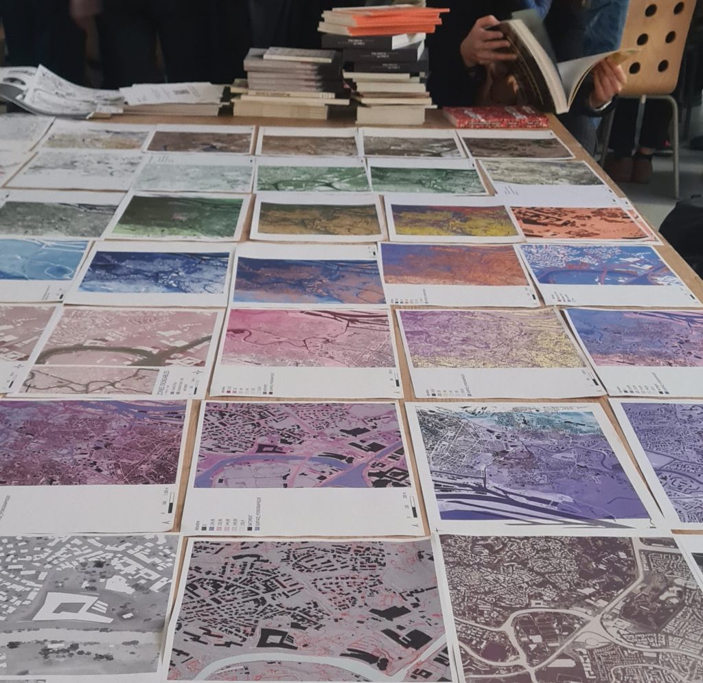
Cartography
By learning Qgis, an open source geospatial data processing software, the students aimed to highlight the current topography of the Robertsau. They produced several maps of the area, focusing on specific points such as the channelling of watercourses, the highlighting of former Rhine riverbeds and the diversity of building types on the site. This mapping work has revealed the topographical tensions and problems that exist within this environment, in particular the confinement of the Robertsau, which makes flooding problems possible in the event of flooding on the Rhine. The cartography provides an understanding of the issues relating to this area, and highlights the various observations made by the students.